|
|
Photo 1 - Most of the road has little vegetation growth
other then grasses and forbs. [3654-27] |
|
|
|
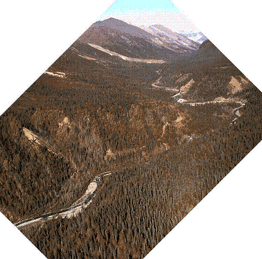
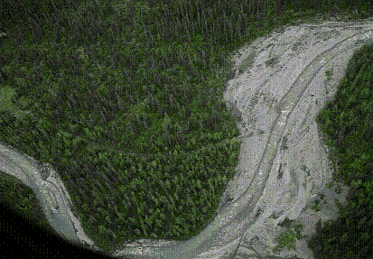
Photo 2 - Aerial view of another section showing road with
little vegetation growth other then grasses, forbs and bare gravel. [3634-1] |
|
|
|
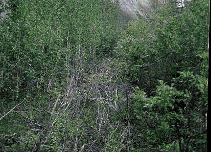
Photo 3 - Some sections of the road have low brush
generally less than four feet high, which would be depressed by passing of
the tracked vehicle and sled. [3654-16] |
|
|
|
Photo 4 - Another example of a road segment with low brush
generally less than four feet high, which would be depressed by passing of
the tracked vehicle and sled. [3635-1] |
|
|
|
|
|
|
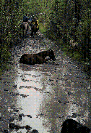
Photo 5 - There are very few wet or
muddy spots on the road. These spots comprise only a few hundred feet of
the entire 14 mile road. And this
area has gravel only a foot or two deep. [3653-13a] |
Photo 6 - Minor sloughing of cobbles and gravel back slope
onto road. Very minor blade work
might be needed but there is little muddy material that could fall into
McCarthy Creek. [3654-3] |
|
|
|
Photo 7 - There are two locations
with side hill slopes. The most
difficult section is approximately 2,000 feet long. The major hazard here is to the operator, not the terrain, because
of several short sections of glaciering where springs higher on the slope
issue small amounts of water that seep downhill and freeze in the current
fall temperatures, making any cross slope on the road surface slick for
traversing even with tracked vehicles. [IMAGE007.rotated] |
|
|
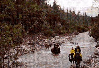
Photo 8 - Typical of the sixteen stream crossings of the
road. In all cases these crossings
are in reaches where the stream bed consists of coarse-grained soils (gravel,
cobbles and boulders). There are no
fine-grained soils where tracked vehicle crossings would generate any
significant amount of mud in the water. [3635-21] |
|
|
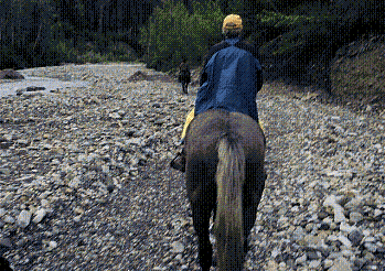
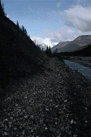
Photo 9 - Another typical of the road route along the
McCarthy Creek floodplain. As long as
the crossings are made at near right angles to the stream beds, these stream
crossings will affect an insignificant portion, 0.26%, of the stream bed of
McCarthy Creek. [3653-5] |