|
|
ALASKA LAND RIGHTS COALITION
EAGLE FIRE
EMERGENCY IMAGES
[assembled by Ray
Kreig] www
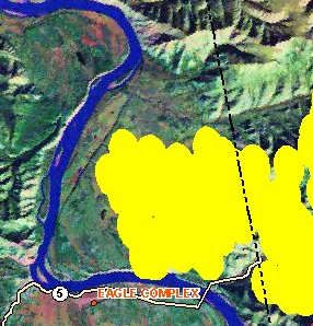
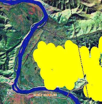
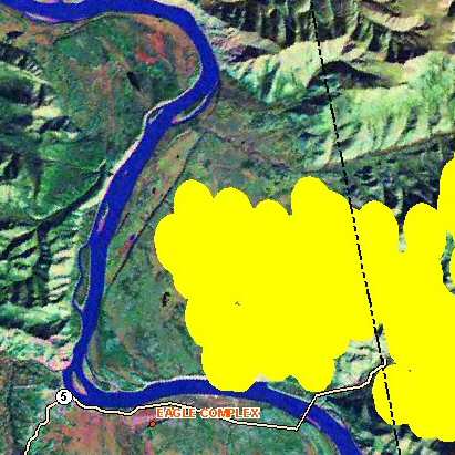
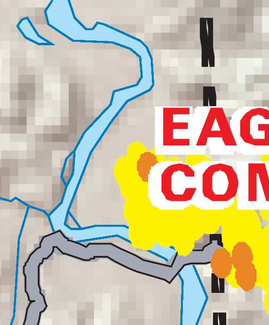
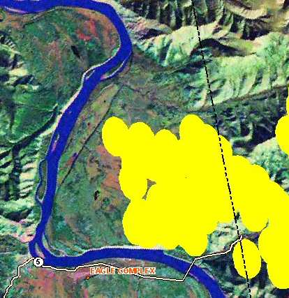
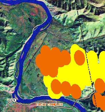
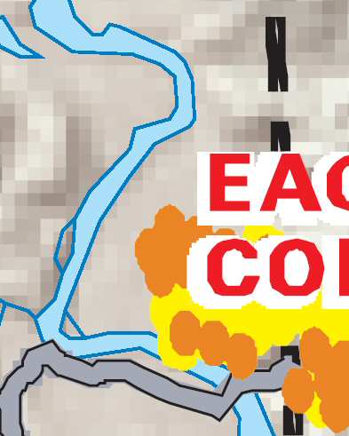
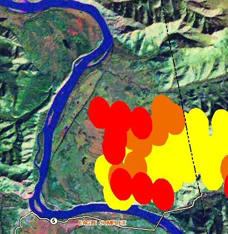
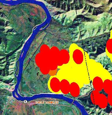
Image of Eagle area (year 2000?) shows fire protection zones; Nation River fire; extent of year 1999? burns. Eastern Interior Large Fires Eagle Vicinity Fire Map
CURRENT WEATHER Tok Dawson Eagle Circle Ft. Yukon
|
Dawson 31 Fire |
|
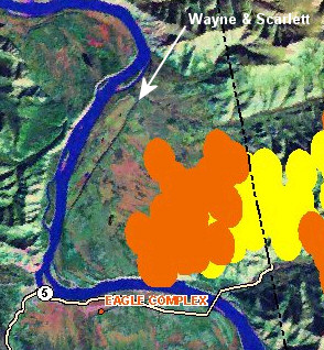
| v v 7/5/04 at
5 pm Alaska Time v v NOTE: Fog/Rain in Eagle |
v v 7/6/04 at
1 am Alaska Time v v NOTE: Light Rain in Eagle |
 |
 |
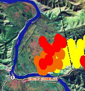
| v v 7/5/04 at 5 am Alaska Time v v | v v 7/5/04 at 1 pm Alaska Time v v |
 |
 |
| NOTE: MODIS ArcIMS stopped working from 1pm to sometime before 12 pm on July 4th. The images here were extracted from the PDF file. ALSO Eagle weather has shown clouds all day. This may interfere with the MODIS readings. | |
| v v 7/4/04 at 5 pm Alaska Time v v | v v 7/5/04 at 1 am Alaska Time v v |
 |
 |
| v v 7/3/04 at 5 am Alaska Time v v | v v 7/4/04 at 1 pm Alaska Time v v |
 |
 |
| v v 7/3/04 at 5 pm Alaska Time v v | v v 7/4/04 at 1 am Alaska Time v v |
 |
 |
| v v 7/3/04 at 5 am Alaska Time v v | v v 7/3/04 at 1 pm Alaska Time v v |
 |
 |
Send mail to [email protected] with questions or comments about this web site.
All pages on this website are ©1999-2001, American Land Rights Association. Permission is granted to use any and all information herein, as long as credit is given to ALRA.